Main Content

North Attleborough

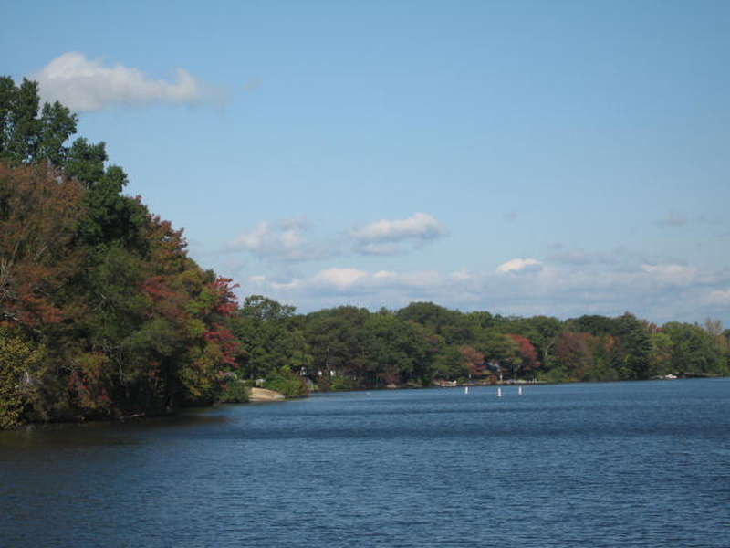
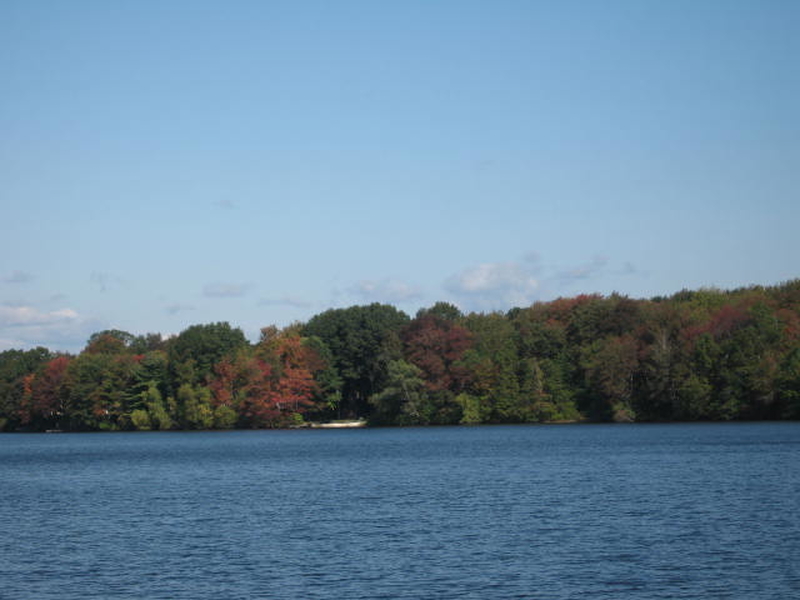
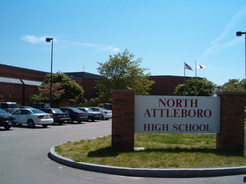
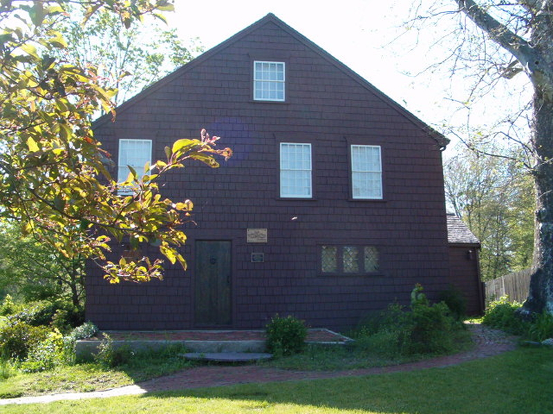
North Attleborough, commonly written North Attleboro, is a town in Bristol County, Massachusetts. North Attleboro [formerly a part of Attleboro] is an industrial town on the Rhode Island border. In pre-Colonial times, it was the site of the Bay Path, a major Indian trail to Narragansett Bay, the Seekonk River and Boston. John Woodcock and family established a small settlement in North Attleboro in 1669, which subsisted on agriculture, fishing and hunting. By 1670, Woodcock had received a license to open a tavern. The settlement was attacked during King Philip’s War, with two killed and one home burned, but the garrison house which Woodcock had built survived the attack. The Woodcock-Garrison house was used as sleeping quarters for George Washington on his army’s march to Boston to rid the city of General Thomas Gage’s troops. The Garrison house is still open for tours and is an especially popular destination for field trips by local school children.
In 2006, North Attleboro was rated in the top ten for professional sports communities in the entire country and was also listed as one of the most affordable and safest places to raise a family. The town is roughly quadrilateral-shaped, and makes the northwest corner of Bristol County. It is bordered by Plainville to the north, Mansfield to the east, Attleboro to the south, and Cumberland, Rhode Island to the west. The town is located 16 miles north of Providence, Rhode Island, 38 miles southwest of Boston and 42 miles southeast of Worcester, Massachusetts. The town has several rivers, streams and brooks running through it, including the Ten Mile River and the Seven Mile River. There are several ponds and lakes. The town’s largest park, World War I Memorial Park, is located in the northern part of town and contains the highest point in Bristol County – Sunrise Hill (Watery Hill) at 390 feet above sea level. World War I Memorial Park features a petting zoo, Petti Field for soccer and lacrosse and a ski/sledding hill with J-bar ski lift which is currently inoperable. There is also the North Attleboro Arboretum adjacent to the park. North Attleboro is represented in the Massachusetts House of Representatives as part of the Fourteenth Bristol district. In the State Senate as part of the Norfolk, Bristol & Middlesex district. On the national level, North Attleboro is a part of Massachusetts’s 4th congressional district in the United States House of Representatives. North Attleboro has a representative town meeting form of government, with an elected board of selectmen and a town administrator appointed by the selectmen. The North Attleboro Police Department is located downtown in the old H.F. Barrows Manufacturing Company Building. There are three fire stations, located downtown on Elm Street just off Route 1, Allen Ave behind Emerald Square Mall and on Route 152 in the eastern portion of town. There are also two post offices, downtown (using the 02760 ZIP code) and in Attleboro Falls (02763). The town has its own school department. The Superintendent is appointed by an elected School Committee of 7 registered voters. Schools are funded by local RTM appropriation of available funds raised from local taxes and State aid. Joseph W. Martin, Jr. Elementary School (Grades K-5) High school students may also choose to attend Tri-County Regional Vocational Technical High School, located in Franklin and including communities in Bristol, Norfolk and Middlesex Counties. Students are also able to attend Bristol County Agricultural High School in Dighton free of charge. The town is home to one Catholic K-8 school, Saint Mary-Sacred Heart School. The nearest private high school is Bishop Feehan High School in Attleboro, a Catholic high school. Interstates 95 and 295 meet just over the Attleboro line, and both run through the town. Each interstate has one exit within town. The town is also bisected by U.S. Route 1, which runs through the retail and downtown districts. Massachusetts state routes 120 and 152 also run through town, as does the “middle” portion of Route 1A, which begins in the town. The town is set equidistantly between the three nearest Massachusetts Bay Transportation Authority stops, in Mansfield, Attleboro Center and South Attleboro. The Greater Attleboro Taunton Regional Transit Authority provides bus services between the local towns and cities. The nearest national-level airport is T.F. Green Airport in Rhode Island, approximately 23 miles away, and the nearest international airport is Logan International Airport in Boston, approximately 42 miles away.
13 Results
4
Beds
2 | 1
Baths
4,021
SqFt
 
 
#73185919 | House
 
4
Beds
3 | 2
Baths
3,833
SqFt
 
 
#73200260 | House
 
5
Beds
3 | 1
Baths
4,415
SqFt
(42)
Open House: Mar 23, 2024 12:00 PM - 2:00 PM
 
#73213384 | House
 
4
Beds
2 | 1
Baths
2,572
SqFt
 
 
#73200229 | House
 
4
Beds
2 | 1
Baths
2,525
SqFt
 
 
#73200259 | House
 
4
Beds
2 | 1
Baths
2,525
SqFt
 
 
#73106777 | House
 
4
Beds
2 | 1
Baths
2,404
SqFt
 
 
#73106790 | House
 
3
Beds
2 | 1
Baths
1,840
SqFt
 
 
#73212773 | House
 
4
Beds
2 | 1
Baths
2,854
SqFt
 
 
#73211560 | House
 
3
Beds
1
Baths
1,500
SqFt
(28)
 
 
#73212219 | House
 
2
Beds
1 | 2
Baths
2,044
SqFt
 
 
#1353479 | House
 
3
Beds
1 | 1
Baths
1,376
SqFt
(42)
 
 
#73203592 | House
 
1
Beds
1
Baths
588
SqFt
 
 
#73210645 | Condo
 
© 2024 MLS Property Information Network, Inc. (MLSPIN). All rights reserved.
The property listing data and information, or the Images, set forth herein were provided to MLS Property Information Network, Inc. from third-party sources, including sellers, lessors, landlords, and public records, and were compiled by MLS Property Information Network, Inc. The property listing data and information, and the Images, are for the personal, noncommercial use of consumers having a good faith interest in purchasing, leasing, or renting listed properties of the type displayed to them and may not be used for any purpose other than to identify prospective properties which such consumers may have a good faith interest in purchasing, leasing or renting. MLS Property Information Network, Inc. and its subscribers disclaim any and all representations and warranties as to the accuracy of the property listing data and information, or as to the accuracy of any of the Images, set forth herein.
MLS PIN data last updated at March 19, 2024 6:50 AM ET
Copyright © 2024 State-Wide MLS. All rights reserved.
The data relating to real estate for sale on this web site comes in part from the Internet Data Exchange (IDX) Program of the State-Wide Multiple Listing Service, Inc. IDX information is provided exclusively for consumers' personal, non-commercial use, and it may not be used for any purpose other than to identify prospective properties consumers may be interested in purchasing.
All Information Is Deemed Reliable But Is Not Guaranteed Accurate.
RIAR-SWMLS data last updated at March 19, 2024 3:45 AM ET